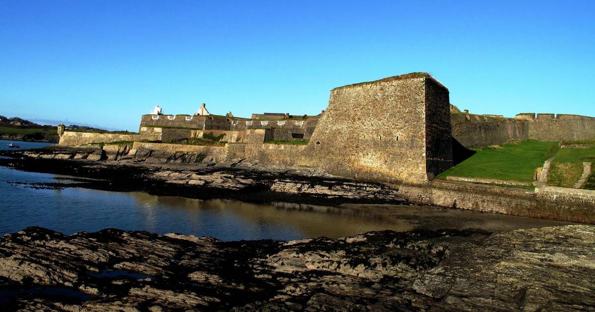
speaking of houses in odd places, there's a house on the left, halfway between the featherbeds and the turnoff for Glencree that I never noticed before last weekend. Its an old looking house and I am almost certain it was never there before. I was wondering if it was something to do with that film they were making around the hellfire club over the last while. Its by a bog road, so thats plausible. I might walk up to it at the weekend for a closer look.View attachment 15141
another amazing day. I found this house here: Google Maps
The map doesn't really do it justice, it was on the edge of the cliff, facing out into the Atlantic, in the middle of nowhere. It's a proper gaff too, toilet out the back and so on.
I've been trying to work out who'd put a house out here, it felt exposed today, and today was absolutely stunning. In the winter it would be an endurance sport.
-
Welcome, guest!
Why not take a moment to register an account?
If you already have an account, remember to Log In!
Jaysus cycling! (9 Viewers)
- Thread starter Scientician 0.8
- Start date
- Replies 5K
- Views 381K
- Watchers 20


Users who are viewing this thread
Activity
So far there's no one here
21 Day Calendar
Similar threads
Support thumped.com
Support thumped.com and upgrade your account
Upgrade your account now to disable all ads...
Upgrade nowLatest threads
-
-
 Carpark Sci-fi, Fierce Shook, Hubert Selby Junior Infants live in Tullamore 20th April
- Started by sleepy
- Replies: 4
-
-